What Happened in the Valley
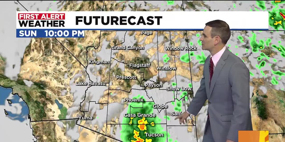
A sudden wave of severe weather brought hazardous conditions to the Phoenix area on Sunday evening. Strong winds and blowing dust quickly swept across the Valley, severely limiting visibility for drivers and prompting an official dust storm warning for most of the region.
While the dust storm warning has since expired, the volatile weather is part of a broader First Alert Day activation driven by a combination of extreme heat and active thunderstorms moving through parts of Arizona. These sudden haboobs—giant walls of dust kicked up by thunderstorm outflow winds—frequently catch evening commuters off guard, creating sudden zero-visibility hazards on major interstate corridors.
Record-Breaking Heat Wave and Background
The severe weather follows a blistering afternoon where temperatures in Phoenix peaked at a dangerous 113 degrees. That reading fell just one degree short of the daily record of 114 degrees set back in 2011.
This intense thermal peak is fueled by a stubborn high-pressure ridge sitting over the Southwest. This meteorological pattern traps hot air over the desert basin while blocking significant moisture inputs from the Gulf, resulting in stifling ambient temperatures that fail to cool down adequately overnight. Urban heat island effects further amplify these readings, keeping night-time lows well above seasonal averages and increasing cumulative heat stress on the local population.
Why It Matters: Stakeholder Impact
The convergence of blinding dust and near-record heat poses immediate operational challenges for the region. Public health officials and utility providers remain on high alert as electrical grids face surging demand from residential and commercial air conditioning units operating at maximum capacity.
For outdoor workers, transportation networks, and vulnerable populations, sustained temperatures above 110 degrees elevate the risk of heat-related illnesses such as heat exhaustion and heatstroke. Furthermore, low-visibility dust events frequently trigger multi-vehicle collisions on regional highways, straining emergency response services and forcing temporary traffic restrictions.
What's Next for the Forecast
Forecasters have confirmed that extreme heat First Alert days will remain in effect through Saturday, August 29. Minimal rain chances and persistent high pressure mean natural relief is not arriving anytime soon.
Looking ahead, Monday morning is expected to start with lingering cloud cover before clearing to mostly sunny skies with a high near 109 degrees. However, this slight dip will be short-lived.
Extreme heat will dominate the forecast from Tuesday through the weekend, with daily highs consistently climbing between 110 and 114 degrees. Meanwhile, northern and southeastern parts of Arizona—including the White Mountains—will continue seeing scattered showers and thunderstorm activity through large portions of the workweek. Residents across the state are urged to monitor local forecasts closely as hazardous heat and localized storm risks persist.


