What Happened
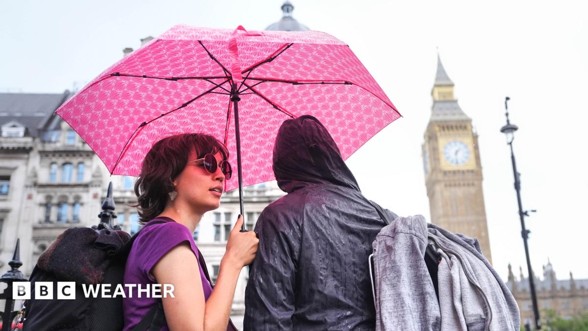
The Met Office has issued active yellow weather warnings across large parts of the UK as heavy downpours, lightning, and thunderstorms move rapidly northward.
Southern England bore the brunt of the initial overnight rain, with East Sussex recording over 21mm of rainfall in just six hours. The severe weather system is now expanding to cover all of Wales, the Midlands, and large swathes of England, bringing potential risks of localized flash flooding, lightning strikes, and difficult driving conditions.
Forecasters warn that the wettest areas could see up to 75mm (3in) of rain alongside gusty winds and large hail, creating hazardous travel disruptions on major road networks as the system tracks toward northern England.
Why It Matters
While parts of England and Wales desperately need moisture due to ongoing dry spells, hard and dry ground struggles to absorb heavy rainfall quickly, significantly increasing the immediate threat of flash flooding. Surface water runoff can overwhelm urban drainage systems within minutes, catching motorists and pedestrians unawares.
The severe weather arrives right at the start of a major bank holiday weekend, putting high-profile outdoor events and festivals under intense pressure. Massive cultural and music gatherings—such as the Reading and Leeds Festivals, Creamfields in Cheshire, Manchester Pride, and the Notting Hill Carnival in London—face a mixed, highly volatile forecast.
Attendees should expect brisk winds reaching up to 45mph in the south-west by Sunday, alongside scattered heavy showers and potential thundery outbreaks that can quickly turn campsite grounds into mudbaths and disrupt transport links.
What's Next
Low pressure is set to remain in charge through Monday, ensuring that unsettled, windy, and wet conditions will dominate the final stretch of the summer holiday season. Temperatures will hover near seasonal averages—ranging from 16C in northern Scotland to 23C in southern England—with no immediate return to the hot, stable weather seen earlier in August.
Forecasters urge anyone with outdoor plans over the bank holiday weekend to monitor local updates closely via official weather applications as these fast-moving thunderstorm cells continue to evolve.


