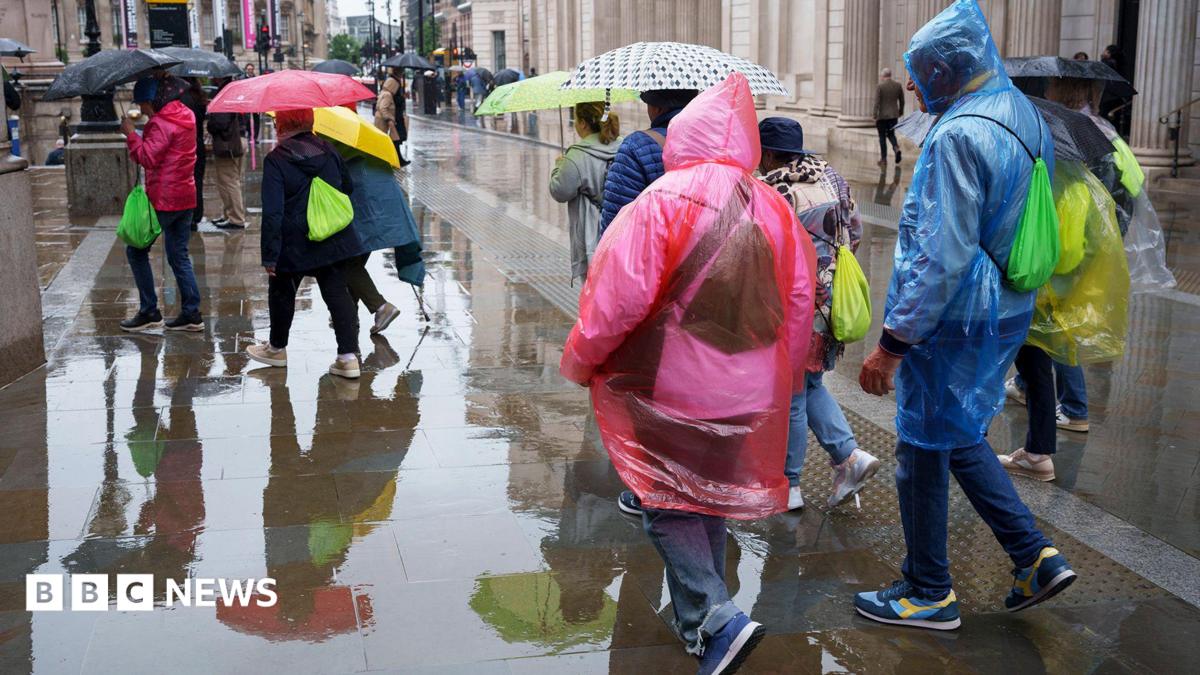
For nearly two months, the UK has felt more like a Mediterranean hotspot than a temperate island nation. Parched lawns, empty reservoirs, and five consecutive heatwaves have left the landscape yellowed and dry.
Now, the weather is finally shifting—but not in the gentle, replenishing way many had hoped.
The Met Office has issued several yellow thunderstorm warnings across the country, signaling an abrupt end to the dry spell. However, meteorologists and environmental agencies are warning that this sudden deluge brings a highly dangerous paradox: severe flash flooding in the middle of an official drought.
The Met Office Warning: What Areas Are Affected?
A massive clash of low-pressure systems is bringing torrential downpours, lightning, hail, and strong winds. The Met Office has warned that homes and businesses face a high risk of flooding, power outages, and major transport disruptions.
Here is the timeline for the heaviest hit regions:
- Northern Ireland: Warnings in effect from midday Wednesday through to midnight.
- North East Scotland (including Aberdeen): Bracing for impact on Wednesday afternoon, with up to 30mm of rain expected in just a few hours.
- Northern England (including Manchester and Newcastle): Heavy downpours starting Wednesday evening, lingering until Thursday morning. Some localized areas could see a staggering 50mm of rain in under six hours.
Even the driest spots are seeing history rewrite itself. In Wisley, Surrey, a remarkable 62-day streak without rain finally ended on Wednesday morning with a brief but symbolic shower.
The Hydrological Paradox: Why Rain Won't Solve the Drought
It seems counterintuitive. If the country is desperately short of water, shouldn't a massive thunderstorm be cause for celebration?
Unfortunately, science says otherwise.
Extreme Heat & Sun ➔ Baked, Compacted Soil ➔ Water-Repellent Surface ➔ Torrential Rain ➔ Instant Run-off & Flash Floods
Because nearly 71.3% of England is officially in a state of drought, the ground has become extremely hard and compacted. Instead of behaving like a sponge, the dry soil acts more like concrete. When heavy rain hits this water-repellent surface, it cannot seep into the aquifers. Instead, it immediately pools on the surface, causing dramatic run-offs and instant flash flooding.
According to the Environment Agency, it will take weeks of "sustained and significant rainfall"—not sudden, violent storms—to replenish depleted reservoirs and reverse the historic dry spell.
Will the Hosepipe Bans End?
For the 20 million UK residents currently living under strict hosepipe bans, the bad news is that these restrictions aren't going anywhere anytime soon.
Water companies have reiterated that a few days of uneven, heavy showers will not restore ground water levels to where they need to be. It will take a prolonged, gentle autumn wet season to reverse the damage left by July 2026—which officially went down as the driest July on record for England and Wales.
A Dramatic Temperature Drop
If there is any immediate relief to be found, it is in the air temperature.
Wednesday is projected to be the first day since late June that maximum temperatures will fail to cross the 25°C (77°F) mark. As high pressure gives way to cooler, low-pressure air currents, daytime and nighttime temperatures will slide back down to—and in some places, slightly below—the seasonal average.
While the heatwave may be breaking, the UK's battle with extreme weather is simply entering a new, wetter, and far more unpredictable phase.


