UK Braces for Gale-Force Winds: What You Need to Know About Met Office Yellow Warnings
Hold onto your hats, UK! The Met Office isn't just hinting at a blustery few days; they're sounding the alarm for a significant weather shift that promises not only intense wind but also a dramatic plunge into Arctic-level cold and potential snow. Get ready for travel headaches and a serious chill, because a triple whammy is on its way.
The Immediate Impact: Lingering Disruption After Wednesday's Gusts
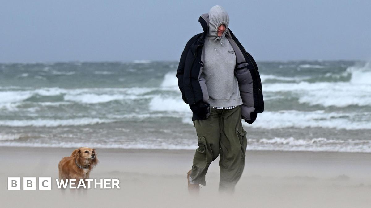
While Wednesday saw the worst of the initial gale-force winds — with gusts topping 70mph (113km/h) in northern and western Scotland — that particular yellow warning has expired. But don't breathe easy just yet. The ripple effects of that deep area of low pressure mean some minor travel disruptions could linger. Think cancelled ferries, flight delays, and those frustrating bridge restrictions for high-sided vehicles, especially in affected areas. Even as the winds eased, the travel networks are still feeling the pinch.
Thursday's Fresh Assault: New Wind Warnings & Where They'll Hit Hardest
Just as one storm fades, another rolls in. Thursday introduces a fresh wave of Met Office yellow warnings, indicating significant wind speeds that will impact a wide swath of the UK.
- Early Start: From 05:00 GMT, a warning kicks in for North Wales, northern England, and southern and eastern Scotland, valid until 20:00 GMT. Winds are set to strengthen dramatically as an area of intense rain sweeps south-eastward. Expect widespread gusts of 50-55mph (80-89km/h), with coastal areas and hills potentially seeing surges up to 60mph (97km/h), or even a staggering 70mph (113km/h).
- Northern Ireland's Turn: Not to be left out, the whole of Northern Ireland is under a yellow warning from 06:00 to 12:00 GMT. Here, a brief but potent period could bring gusts up to 60mph (97km/h), accompanied by heavy rain, before winds begin to ease from the west.
Why does this matter? Beyond the sheer discomfort, this translates directly to more travel disruption. Consider potential bridge closures, delays on ferry services, and disruptions across the rail network. If you're commuting or planning to travel on Thursday, stay hyper-vigilant and check for updates.
From Gale to Glacier: Why Arctic Air is Plunging UK Temperatures
But the story doesn't end with the wind. As the current system passes, a more insidious change takes hold: a profound drop in temperature.
Feeling the Freeze: Understanding the Sharp Drop in UK Thermometers
Come Friday, a northwesterly wind will act like a conveyor belt, dragging in significantly colder air directly from the Arctic region. This isn't just a slight dip; temperatures are forecast to fall around three or four degrees below average. And when you combine that with strong winds, the wind chill factor will make it feel much, much colder than the thermometer suggests. This shift isn't just uncomfortable; it's a stark reminder that winter isn't quite done with us yet.
Snow Watch: Where Wintry Showers and Accumulation Are Most Likely This Weekend
This Arctic invasion brings with it the real possibility of wintry weather. Fast-moving hail showers could appear almost anywhere, and brief flurries of wet snow aren't out of the question, even in the typically milder south.
However, if you're hoping for a picturesque snow scene, your best bet will be the higher ground. Most accumulating snow is likely to settle on the mountains and elevated areas of Scotland, Northern Ireland, and northern England. Wales and south-west England also stand a chance of seeing some flakes stick. And the forecast indicates that even more wintry showers could be on the cards for Sunday, prolonging the cold snap.
So, as the UK heads into the end of the week and the weekend, prepare for a meteorological rollercoaster: from fierce gales and travel disruption to a biting cold and the return of winter's white blanket in many areas. Stay warm, stay safe, and keep an eye on those Met Office updates!