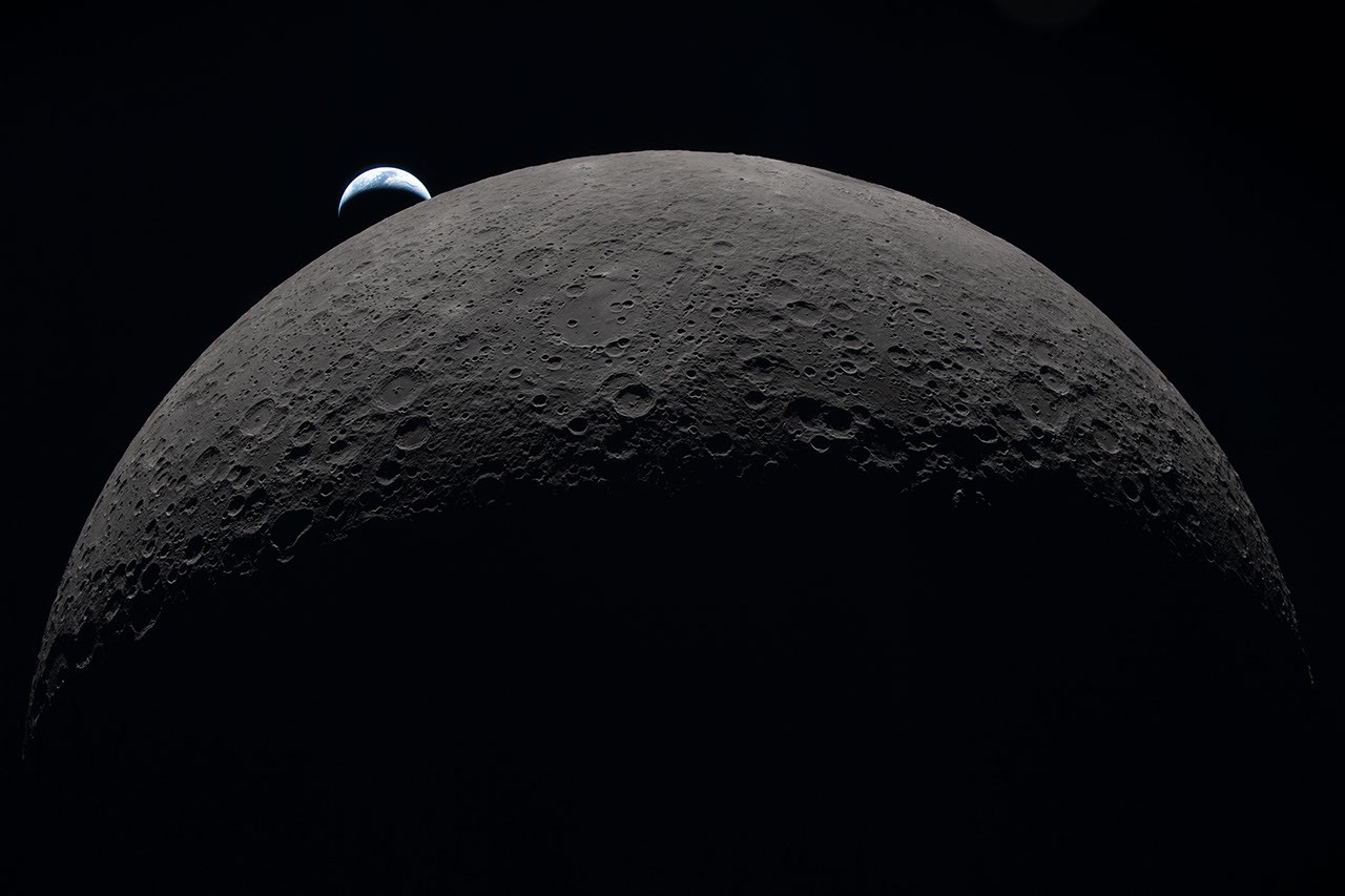
The lunar surface is famously scarred by billions of years of cosmic impacts, but its newest blemish has a distinctly human origin.
NASA's Lunar Reconnaissance Orbiter (LRO) has successfully located and photographed a fresh crater on the far side of the Moon. The cause of this celestial dent? A discarded SpaceX Falcon 9 upper stage rocket, which slammed into the lunar terrain at high speed, leaving behind a permanent signature of humanity's expanding footprint in deep space.
The successful imaging of this crash site is not just a visual triumph; it represents a masterclass in orbital mechanics, international collaboration, and planetary defense testing.
The Wild Anatomy of a High-Speed Impact
On August 5, 2026, the spent upper stage of a SpaceX Falcon 9 rocket concluded its long journey through space by colliding with the lunar surface. The hardware had been drifting in a highly chaotic orbit since January 2025, when it originally launched the Firefly Blue Ghost 1 lunar lander mission.
When the impact occurred, scientists were eager to see the aftermath. Between August 11 and 12, NASA’s LRO team executed a complex maneuver to photograph the crash zone. The results revealed a fresh crater measuring roughly 60 feet (18 meters) wide. By analyzing the length of the shadow cast across the depression, scientists calculated that the crater is surprisingly shallow—measuring less than 10 feet (3 meters) deep.
Using the orbiter's ultra-sensitive Narrow-Angle Camera, which can resolve surface features as small as 3 feet across, scientists observed distinct ejecta patterns radiating from the crash site. The impact blasted out two contrasting types of material:
- Dark Rays: These streaks consist of surface dust and rocks that have been darkened over millions of years by exposure to harsh solar winds, galactic cosmic rays, and micrometeorite strikes. This weathered "soil" was excavated from relatively shallow depths of up to 1.5 feet.
- Bright Rays: Radiating closer to the crater rim, these lighter streaks consist of fresh, unweathered pristine material that was excavated from deeper underground, shielded from space radiation until the moment of the SpaceX impact.
A High-Stakes Game of Orbital Tag
Capturing these high-resolution images was an extraordinary engineering challenge. The LRO circles the Moon from pole to pole every two hours at an altitude of approximately 60 miles, traveling at a blistering speed of 1 mile per second. Because the Moon slowly rotates beneath the orbiter, the spacecraft cannot simply point and shoot at any given moment; it must wait for the target coordinates to rotate directly into its flight path. In this case, it took six days for the crash site to roll into view.
When the moment finally arrived, engineers had to tilt the entire spacecraft precisely toward the coordinate point. The margin for error was virtually zero. If the LRO's camera snapped its shutter just 10 seconds too early or too late, the rapid speed of the spacecraft would cause the target crater to drift off-center by a massive 10 miles, resulting in a missed opportunity.
Global Coordination and Planetary Defense
Locating a 60-foot crater on a celestial body with a surface area of 14.6 million square miles required a global network of volunteers, astronomers, and government space agencies.
The tracking process began with independent, amateur astronomers who used publicly available tracking data to project the spent rocket's highly unstable orbital path. This data was then utilized by NASA’s Center for Near Earth Object Studies (CNEOS) based at the Jet Propulsion Laboratory (JPL) in Southern California.
While CNEOS is primarily tasked with tracking natural asteroids and comets that could threaten Earth, the agency used this artificial impact as a real-world test case. It allowed engineers to validate and refine their predictive modeling software, simulating how they would calculate the impact point of a threatening asteroid.
CNEOS progressively narrowed down the projected impact zone and shared these coordinates with the Republic of Korea’s Korea Pathfinder Lunar Orbiter (Danuri) team. Just hours after the crash, the Danuri team utilized their high-resolution Lunar Terrain Imager (LUTI) camera to snap the first broad images of the area. Their sweep confirmed that the CNEOS prediction was incredibly accurate, missing the actual impact site by a mere 0.6 miles.
Danuri then transmitted the refined, pinpoint coordinates back to NASA's LRO team. This critical handoff allowed the LRO to program its precise flyover, yielding the detailed close-up images of the fresh crater. The final, updated coordinates of the SpaceX impact site have now been officially cataloged: 19.4759°N, 266.7138°E, sitting at an elevation of 511 meters.
The Future of Lunar Tracking
As the race to the Moon intensifies with NASA's Artemis program, commercial cargo missions, and international lunar landers, the space surrounding the Moon is becoming increasingly crowded. Spent rocket stages, retired orbiters, and surface landers are inevitably going to accumulate.
While the SpaceX impact was accidental, it has provided planetary scientists with a rare "controlled" experiment to study how craters form in real-time. By observing how pristine subsurface dust is scattered, researchers can better understand the aging process of the lunar soil, preparing humanity for a long-term, sustainable presence on the Moon.